Observe first
Begin with the evidence, its context and the limits of what it can support.
About
I’m Omica Chow, an undergraduate student at Zhejiang University. I’m learning how observation, computation and visualisation can work together, while staying attentive to what the evidence and the tools can — and cannot — support.
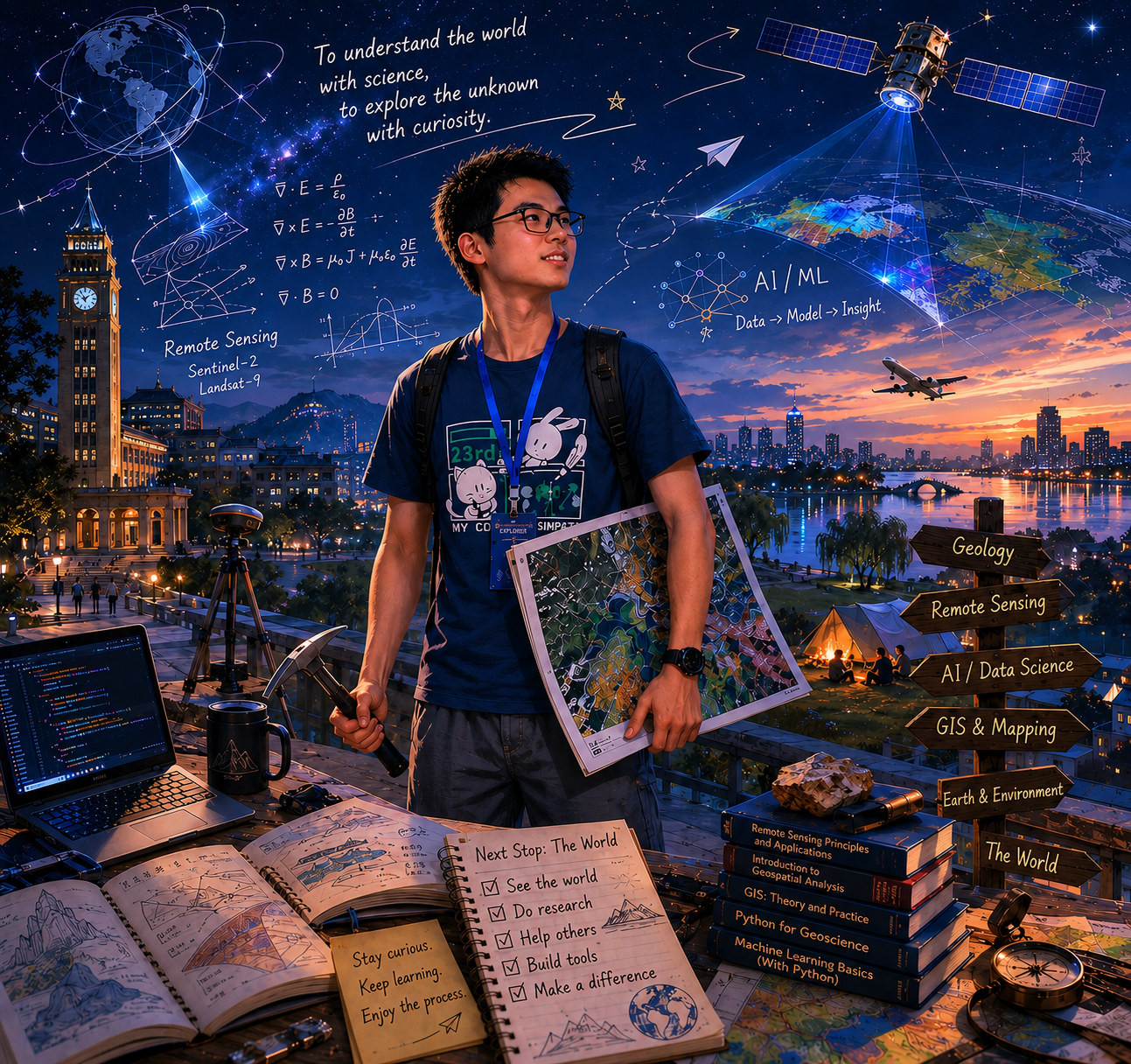
Observation · computation · visualisation
My current interests centre on remote sensing, satellite geodesy, geospatial computing and machine learning. I’m drawn to questions that connect what we can observe with how we represent, analyse and explain it.
I often work through those questions by making something small and concrete: a map, a visual explanation, a small piece of software or a reproducible experiment. Building helps me test an idea, notice its assumptions and understand its limits.
Begin with the evidence, its context and the limits of what it can support.
Use maps, visualisation, writing and code to reveal structure without flattening complexity.
Use small tools, reproducible workflows and focused experiments to test ideas and deepen understanding.